by lizzi | Dec 11, 2019 | Newsletter Vol. 7, Project Profiles
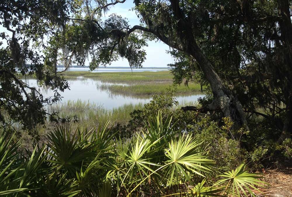
Cabin Bluff, approximately 11,000 acres located three miles south of the mouth of the Satilla and adjacent to Cumberland Island, is a lush, highly diverse landscape of salt marsh, tidal creeks, pristine maritime forests and fire-managed pine flatwoods. This large,...

by lizzi | Dec 11, 2019 | Newsletter Vol. 7, Project Profiles
By Dorinda Dallmeyer Like all of Georgia’s coastal rivers, the Satilla has served as a pathway to the interior for hundreds of years. The early Native Americans hunted in its rich forests. In the 1500s, the French explorer Jean Ribault called it “Riviere Somme,” a...
by lizzi | Dec 11, 2019 | Newsletter Vol. 7, Project Profiles
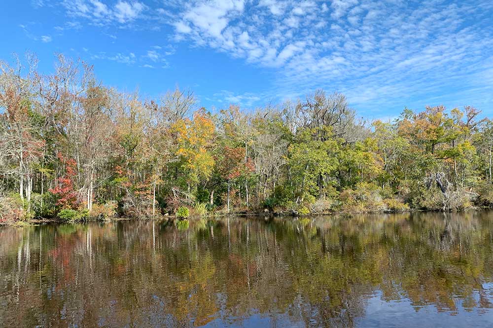
By Dorinda Dallmeyer Rising from a lake four miles east of Fitzgerald, the Satilla River winds over 260 miles in extravagant loops across the Coastal Plain until it meets the Atlantic at St. Andrews Sound between Jekyll and Little Cumberland Islands. Because its 4,000...

by lizzi | May 28, 2019 | Newsletter Vol. 6, Project Profiles
By Dorinda Dallmeyer The Altamaha is a river of superlatives. Formed by the confluence of the Oconee and Ocmulgee Rivers, the Altamaha drains the third largest watershed on the eastern seaboard. With the Oconee’s headwaters stretching into the foothills of the Blue...

by lizzi | Jul 16, 2018 | Newsletter Vol. 5, Project Profiles
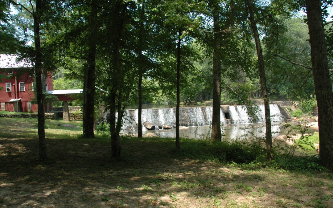
By Dorinda Dallmeyer High in the Georgia Piedmont south of Union Point and Siloam, springs rise in two pastures to form the Ogeechee. Unlike most of Georgia’s rivers, whose headwaters are composed of creeks and streams bearing their own names, the Ogeechee is...
by lizzi | Jul 16, 2018 | Newsletter Vol. 5, Project Profiles
By Dorinda G. Dallmeyer Since the arrival of Paleo-Indians around 11,500 years ago, the Ogeechee watershed has been indispensable to its people. The late Jack Leigh knew the river was not just carving a path to the sea when he said, “Water shapes our lives, and...